A MET Office map reveals Storm Herminia’s wrath with 80mph wind and flash floods rampaging across the UK.
The latest named storm comes after Eowyn killed two people over the weekend and caused major disruption, with some Brits warned to stay indoors.
The Met Office’s interactive map shows rain rampaging across the UK today
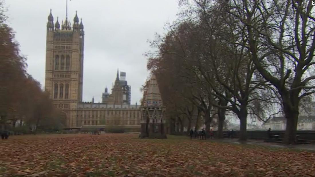
George Cracknell WrightCommuters on London Bridge this morning[/caption]
BNPSStrong winds have brought big waves at West Bay on the Jurassic Coast[/caption]
The national forecaster says the next few days look “set to remain very unsettled”.
An interactive map shows a blanket of rain drenching much of the UK over the next few hours.
WARNINGS
A series of yellow warnings for wind and rain have been issued for large parts of England and Wales with more than 40 flood warnings in place.
Parts of Wales and central, southern and northern England are under a 24-hour warning for strong and gusty winds from the same time.
A warning for periods of heavy rain that could cause some flooding of roads and properties was in place for the West Midlands and most of Wales until 11.59pm on Monday with the Met Office predicting 20mm to 40mm to fall quite widely and 50mm to 70mm on higher ground.
Okehampton in Devon had 35.8mm of rain on Sunday, while an 83mph gust was recorded in Berry Head, south Devon, and 81mph in Capelcurig, North Wales.
A yellow wind warning was in place until 7am on Monday for large parts of southern England, the North West, the West Midlands and Yorkshire.
Flooding saw stretches of the A36 and A303 closed in Devon and Wiltshire overnight, while National Rail said services were running normally between Taunton and Castle Cary after flooding.
Most of the 40 flood warnings, where flooding is expected, issued by the Environment Agency cover the south west and south coast, the two warnings issued by the Scottish Environment Protection Agency.
Scotland is recovering from the effects of Storm Eowyn.
ScotRail said engineers had made “great progress” in removing debris and repairing damage, but several lines were unlikely to reopen for the start of services on Monday.
The Largs to Adrossan line will not reopen on Monday after an overhead gantry was brough down by a falling tree.
Avanti West Coast said services to and from Glasgow and Edinburgh had resumed, but warned of late starts and possible delays on Scottish routes.
Northern Ireland Electricity Networks said around 74,000 customers remained without power at the end of Sunday following Storm Eowyn, while the Northern Powergrid said teams were working to reconnect more than 150 customers overnight.
Ben Lukey, a flood duty manager at the Environment Agency, said: “Although not expected, impacts could include localised flooding from watercourses, drains, channels and flooding from overland flow.
A wet and windy spell arrived in the South West on Sunday morning and was moving across the north of the UK overnight.
Met Office meteorologist Marco Petagna said: “Things are going to stay unsettled in the next few days. We’re getting successive spells of wet and windy weather, which is obviously adding to impacts
While not as powerful as Storm Eowyn, a low-pressure system was named Storm Herminia by meteorologists in Spain which was expected to feel the strongest winds.
5-day weather forecast
Today:
Showers or longer spells of rain across most areas. Showers turning heavy at times in the south with a chance of thunder, plus hill snow in the north. Strong, gale-force winds continuing in the south, and temperatures around average.
Tonight:
Showers and longer spells of rain continue overnight. Gales in the southwest slowly easing, but winds picking up in the far north. A patchy frost forming in the northwest.
Tuesday:
Further heavy showers in the south with a risk of thunder. Longer spells of rain in the northwest, but easing later. Strong winds at first, and temperatures around average.
Outlook for Wednesday to Friday:
Remaining wet and windy in the south on Wednesday. Becoming more settled for all on Thursday and Friday. Temperatures near the seasonal average, but chilly at night.
METThe Met Office has issued weather warnings across England and Wales[/caption]
PAStorm damage in Dechmont in West Lothian[/caption]
LNPDrivers on the A3 in New Malden south-west London this morning[/caption] Published: [#item_custom_pubDate]


