A RARE amber weather alert for snow has been issued by the Met Office as Brits are warned of travel chaos.
The warning was issued from 9pm on Saturday and has now been extended to 6am on Monday morning.
PAA tractor clears snow from a road in Scotton, Harrogate, North Yorkshire[/caption]
Jordan CrosbyA lorry is pictured in County Durham blocking the A1 Southbound after getting stuck in heavy snow this morning[/caption]
PAPeople make their way through snow to Mass at Holy Cross Catholic Church in Killeshin, County Laois, Ireland[/caption]
The Met Office has issued a rare amber weather warning tomorrow along with seven yellow alertsMET Office
It covers large parts of northern England and the forecaster has predicted “further disruption during Sunday night”.
The Met Office warned some rural communities will be cut off, while power cuts and loss of mobile phone coverage is likely.
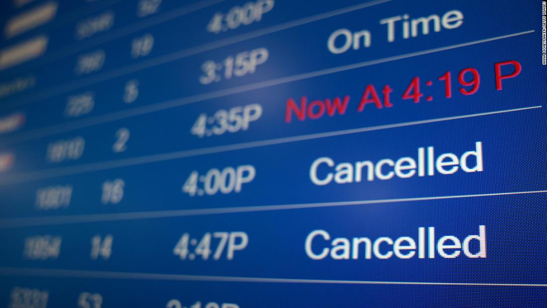
Brits affected should also prepare for delays and cancellations on rail journeys and flights.
On the roads, drivers are urged to brace for traffic chaos and potentially being stranded amid collisions in icy conditions.
Meanwhile, for Monday’s outlook the forecaster said: “An icy start across much of the north and west of the UK Monday morning, with further rain, sleet and snow in places.
“Cloudy elsewhere, with outbreaks of rain. Surface water flooding may lead to difficult travelling conditions.”
There are also seven yellow weather warnings in place on Monday.
An alert for snow and ice covers the Scottish Highlands and western Scotland from 12pm today until 11am tomorrow.
The same notice is in place until midday Monday which covers the east coast of Scotland.
Those in Edinburgh are also under warning for snow until 12pm tomorrow.
Another warning for ice applies to the entire of Northern Ireland until 11am.
A further alert for snow and ice is in place for the whole of northern England until 12pm.
Elsewhere, a yellow weather warning for rain stretches across the Midlands and covers much of Wales, and ends at 6am tomorrow.
A second alert for rain also covers the south of England and the south coast until 9am.
This comes as much of the country ground to a halt yesterday after the white-out closed roads, grounded flights and saw hundreds of rail services either axed or delayed.
The coldest spot last night was Loch Glascarnoch in Scotland where the mercury fell to a bone-chilling -11C.
Power outages across England and Wales have been reported by the National Grid and other power operators.
More than 1,000 homes were affected across all of Wales and parts of southern and central England.
Hundreds of Brit travellers heading abroad or returning to the UK saw flights cancelled or massively delayed thanks to the deep freeze
Manchester Airport and Liverpool John Lennon Airport closed a number of their runways this morning due to snow.
One Singapore Airlines flight from Singapore to Manchester was diverted away from the snowy airport twice today.
And forecasters warn that the coming week will be the coldest of the winter so far — with more snow and night temperatures as low as -15C likely to prolong transport chaos.
Snow at Manchester Airport this morningMCPIX LTD
LNPA vehicle veered off the road in the Brecon Beacons, Powys, Wales[/caption]
GettyPeople helped push a stranded car in Bradford today[/caption]
It could signal a miserable trudge back to the office for those whose Christmas break has just ended — and may see schools forced to shut today, delaying kids’ return.
The Arctic blast had swept in overnight as temperatures fell to -11.1C in some parts. The Met Office and UK Health Security Agency issued amber “danger to life” alerts ahead of the blizzards.
The first, for snow and freezing rain, covered central England and Wales.
The second, for snow, was issued for northern England as people were urged to stay at home.
Many areas were rapidly carpeted, some parts seeing up to 15in.
By 11am, there was 7in in Bingley, West Yorks, and 4in at Shap in Cumbria.
Excited children and their parents headed out sledging, including at Sele Hill in Hexham, Northumberland.
Yet there were fewer smiles on the roads and railways.
One driver said up to 8in of snow caused “carnage” on the M1 at Barnsley, as he drove home after a night shift.
He said: “There’s police, lorry recovery trucks getting stuck trying to pull lorries out, there’s cars getting stuck.”
Among roads closed were the A628 Woodhead Pass between Greater Manchester and South Yorkshire.
Traffic came to a stop on the A1(M) southbound between Bowburn and Bishop Auckland in Co Durham after drivers were stranded in snow.
In South Yorks, the southbound A1 was shut between North Elmsall and Doncaster after a car and HGV collided.
In Manchester, crews spent the night “non-stop gritting and ploughing” to keep roads open.
Elsewhere, the A303 in Andover, Hants, was closed after a car overturned.
Another driver in the county had a miraculous escape after their car flipped in standing water on the A3 at Liphook.
Police said: “This driver needs to buy a lottery ticket after walking away from this.”
Two drivers were nicked after zooming through snow — “drifting” — in a retail park Newport, South Wales, as a tribute to Fast & Furious films which feature the driving technique.
Police also seized their cars.
On the railways, dozens of services were axed at London Waterloo following a loss of power.
Passengers hoping to use TransPennine routes between Manchester, Leeds, York, Newcastle, Edinburgh and Glasgow were urged not to travel.
Trains on Great Western Railway, LNER, Grand Central, ScotRail and Merseyrail were also disrupted.
There were no Avanti West Coast services running to or from Liverpool Lime Street.
Commuters using Northern services were advised to stay away today, with disruption expected in Leeds.
Met Office chief forecaster Frank Saunders said, as expected, snow had built up yesterday in areas covered by the service’s amber warning.
He added that milder air pushing into the southern half of the UK had caused lying snow to melt.
The rain which followed became the “main hazard” with flooding possible.
Yellow rain warnings were issued for Wales, Cheshire, Manchester, the north Midlands, Humberside and, separately, southern England.
Sarah Cook, flood duty manager at the Environment Agency, said some rivers in Lancashire and Warwickshire may burst their banks due to melting snow and rain.
She added: “Minor flooding from rivers and surface water may also be seen more widely across other parts of England.
“We advise people to stay away from swollen rivers and urge people not to drive through flood water.”
The Met Office said temperatures would remain below average this week with more snow likely in the days ahead.
Deputy chief forecaster, Mike Silverstone, said: “The low pressure that brought the snow and heavy rain in the South will move out to the East by Monday.
“This will allow a cold northerly flow to become established again for much of the week.
“Some areas, especially in the North, may struggle to get above freezing for several days.
“There is also the potential for some snow in southern and maybe central parts of England and Wales around the middle of the week, as a system brushes the South, bumping into the cold air.”
AlamyThe ambulance station in the Hampstead Heath area sent out crews in anticipation of weather related accidents[/caption]
ReutersWeary passengers at Euston Station, in London amid cancellations and delays[/caption]
AlamyHeavy snow in Flintshire North Wales fell overnight[/caption] Published: [#item_custom_pubDate]


