BRITS have been warned of travel chaos as snow and ice alerts are sparked after plummeting -4C temperatures.
The Met Office issued two yellow weather warnings covering large parts of the UK today as figures struggle to climb above freezing.
Jordan CrosbyThose in North Yorkshire have already woken up to a blanket of snow[/caption]
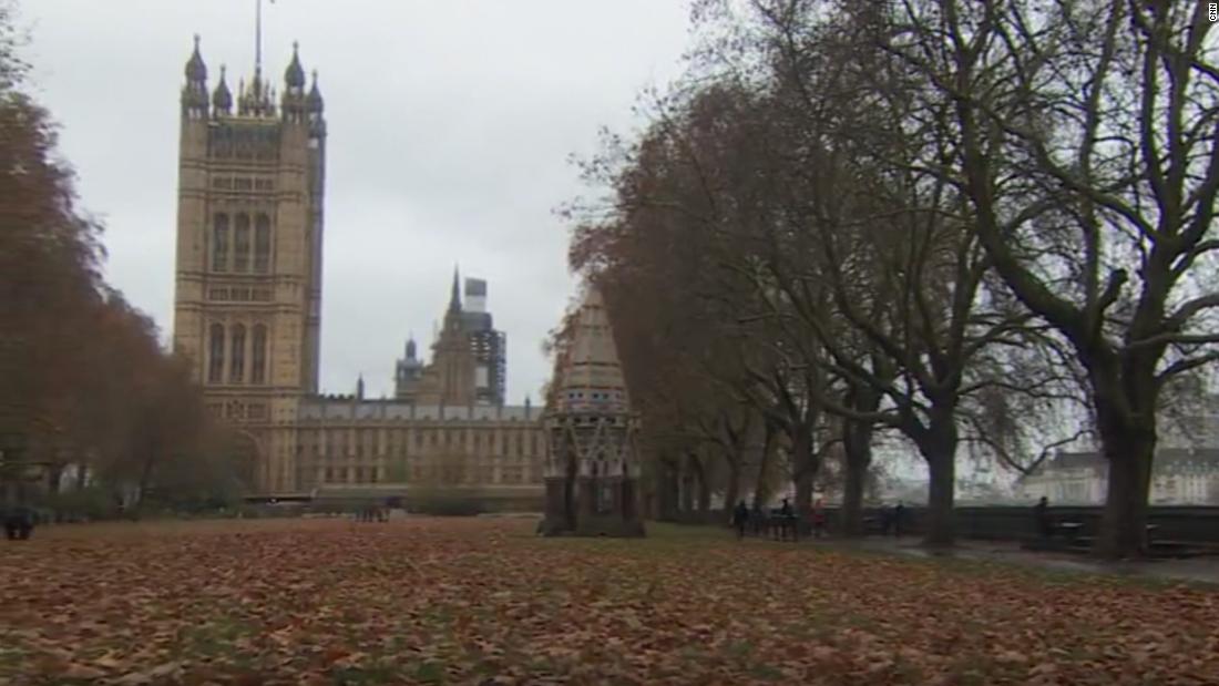
LNPCommuters braving dense fog this morning in south-west London[/caption]
MET OfficeThe two alerts cover large parts of Scotland and Yorkshire[/caption]
Meteorologists put a notice in force stretching across eastern Scotland and north-east England down to North Yorkshire from 5pm yesterday evening until 11am tomorrow morning.
They warned: “Icy patches and snow are possible and may lead to hazardous conditions.”
Those in North Yorkshire have already woken up to a blanket of snow, with police urging motorists to be aware of road closures on the A169.
Tumbling temperatures have reached -4C this morning in parts of Scotland this morning and surrounding areas hover around -2C.
Meanwhile the rest of the UK also faces a bitter morning as figures struggle to climb above 4C.
Similar alerts are in place covering large parts of northern and eastern Scotland, north-east England and Yorkshire which ends at 11am today.
The Met Office advice states those affected can expect: “Some roads and railways likely to be affected with longer journey times by road, bus and train services.”
Brits were also urged to take care as “injuries from slips and falls” on icy surfaces is possible.
In Scotland, the Met office predicted people may see up to five centimetres of snowfall in higher parts of the northeast.
Northern Ireland is also under a yellow weather warning for ice from 5.34am until 10am this morning.
The UK Health Security Agency (UKHSA) has issued yellow and amber cold-health alerts for northern England until December 5.
A UKHSA spokesperson said: “Conditions across the UK are forecast to turn increasingly cold through the week, with overnight frosts becoming sharp and widespread, with only limited recovery of temperatures by day.
“A weather system is expected to bring rain into southern parts of the UK later this week, with the potential for hill snow on its northern flank.
“Snow to low levels across southern England is considered a low probability.
“Showers falling as a wintry mix in places, mainly across North Sea coastal areas and over high ground.”
Meteorologist Clare Nasir said in a Met Office forecast: “Stepping outside this morning, watch out it’s going to be very cold. Take extra time on your journey if you’re scraping ice off your windscreens.
“There could be some slippery surfaces, particularly where you’ve seen showers, these continue through the morning.
“A warning for snow and ice continues across northern and eastern Scotland, north east England. Inland there are some bright skies but it will be bitterly cold.
“Through Wednesday morning, there will be a cold wind, particularly along the coast.
“We will see more snow accumulate particularly over higher ground.”
While daytime figures will remain in single-digits, night temperatures are expected to dip below freezing for large parts of England and Scotland.
Met Office deputy chief meteorologist David Oliver warned of unpredictable weather on Thursday and Friday for the southern half of England and Wales.
“The weather models are highlighting several possible solutions from very wet to mainly dry, with a mainly dry picture the most probable outcome at present,” he said.
“However, some models include the prospect of an area of low pressure developing and moving in from the south or south-west.
“If this solution proves to be correct, we could see an area of warmer and moisture-laden air ‘bumping’ into the cold air further north. Along the boundary of the two air masses lies a zone across southern and central Britain where snowfall could develop fairly widely.”
He added: “Snow in any affected area is unlikely to be anything more than transient and short-lived, but it could lead to small totals and some disruption over a few hours before melting.”
The bitter temperatures come as freezing air moves in from Scandinavia this week.
How to keep warm at home
You should heat your home to a temperature that is comfortable for you.
Low indoor temperatures can have a serious impact on your health, especially if you have medical conditions or are older.
Simple changes can help to keep you and your home warm:
Try to heat rooms you spend a lot of time in, such as the living room or bedroom, to at least 18C
Try to reduce draughts; you can fit draft excluders around doors cheaply
Keep your bedroom windows closed at night
Wear several layers of thinner clothing; this could keep you warmer than one thicker layer.
You should also try not to sit still for more than an hour or so and stretch your limbs regularly.
It is also important to get vaccinated to help reduce your risk of respiratory illnesses, to treat minor ailments like sore throats and colds quickly, and to call NHS 111 or 999 in an emergency if you need to.
Source: UKHSA
Published: [#item_custom_pubDate]


