
THUNDERSTORMS and heavy rain are lashing parts of England and Wales as the Met Office issues a 15-hour yellow weather warning.
“Torrential” rain, thunder and flooding hit the country in the early hours with a yellow warning in place from 2am until 5pm.
2022A flood warning has been issued by the Environment Agency[/caption]
Met OfficeThunderstorms and ‘torrential’ rain are due to hit parts of England and Wales today[/caption]
The Met Office said an area of heavy rain and thunderstorms is moving northeast across the country, bringing travel disruption and flooding with it.
Spray and sudden flooding could make driving difficult and Brits have been instructed to expect some road closures over the day.
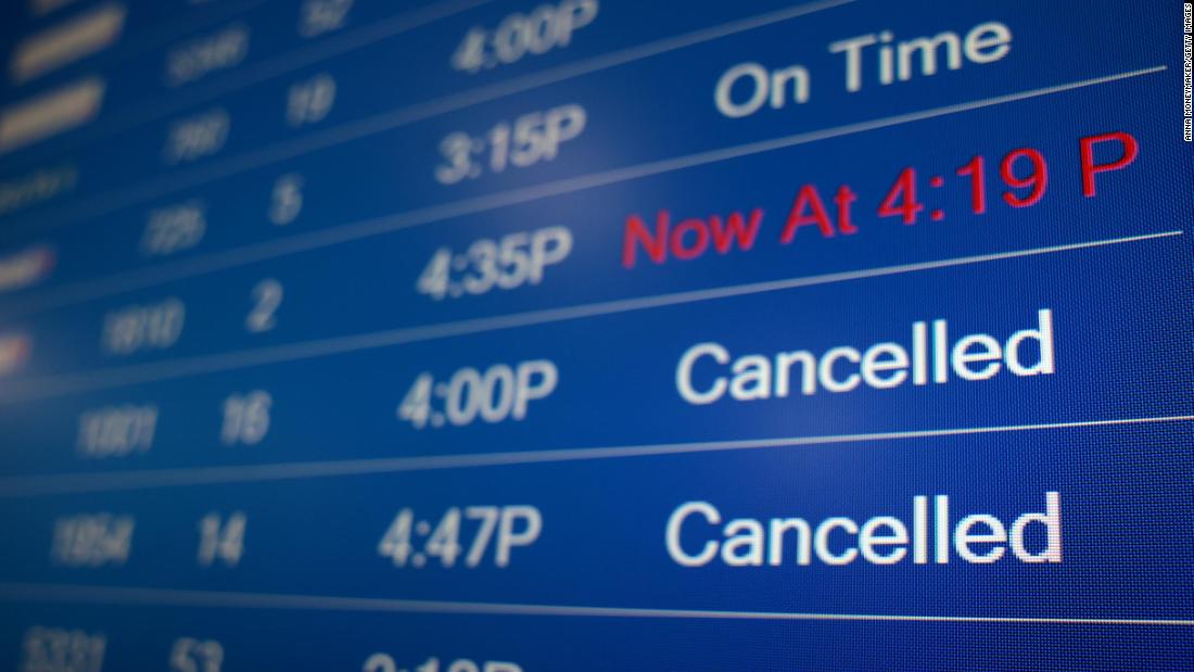
Trains and busses could be affected by the storm as services struggle to cope with the extreme weather conditions.
The torrential rain will likely come amid lightning strikes and thunder in parts of the country as a storms roll across England and Wales.
The Met Office has also warned that some power cuts could occur amid the storms.
In some cases there could be damage to buildings from floodwater, lightning strikes, hail or strong winds.
The weather warning is in place for the East Midlands, the East of England, North East England, North West England, South West England, Wales, the West Midlands, Yorkshire and Humber.
A few places in the affected area could experience torrential levels of rain with 30-60mm of rain in an hour.
Flood alerts have been put in place by the Environment Agency as the thunderstorm prepares to dump buckets of rain across the country.
The downpours are expected to continue into the evening before lightening into showers throughout the night.
Tomorrow light rain and brisk winds will persist in patches in the northwest.
It comes after the Met Office warned of heavy rain coming earlier this week as the remnants of Hurricane Erin lashed the island.
At the start of the week heavy rain, strong winds and even hail was expected to hit parts of the country.
The remnants of Hurricane Erin blowing in from the Atlantic brought heavy rain with the Met Office warning 50mm was expected in some parts of the country.
AlamyRain is expected to pour down across parts of the country with thunderstorms and lightning also forecast[/caption]
AlamyBrits will need to be prepared for extreme rainfall throughout the day[/caption]
The poor conditions have continued through the week developing into thunderstorms today.
The Met Office said: “A thunderstorm warning is in force this morning for parts of England and Wales
“Stay Weather Aware and take care as you travel.”
The extreme conditions are expected to cause travel delays in affected areas so anyone travelling today has been instructed to check their route ahead of time.
Visit our Weather page for the latest updates Published: [#item_custom_pubDate]