
THE Met Office has warned heavy snow, ice, and rain could hit Britain today as almost the entire country is battered.
A whopping seven weather alerts have been issued for much of the UK today in a bitter cold snap – with up to 25cm of snow falling in parts.
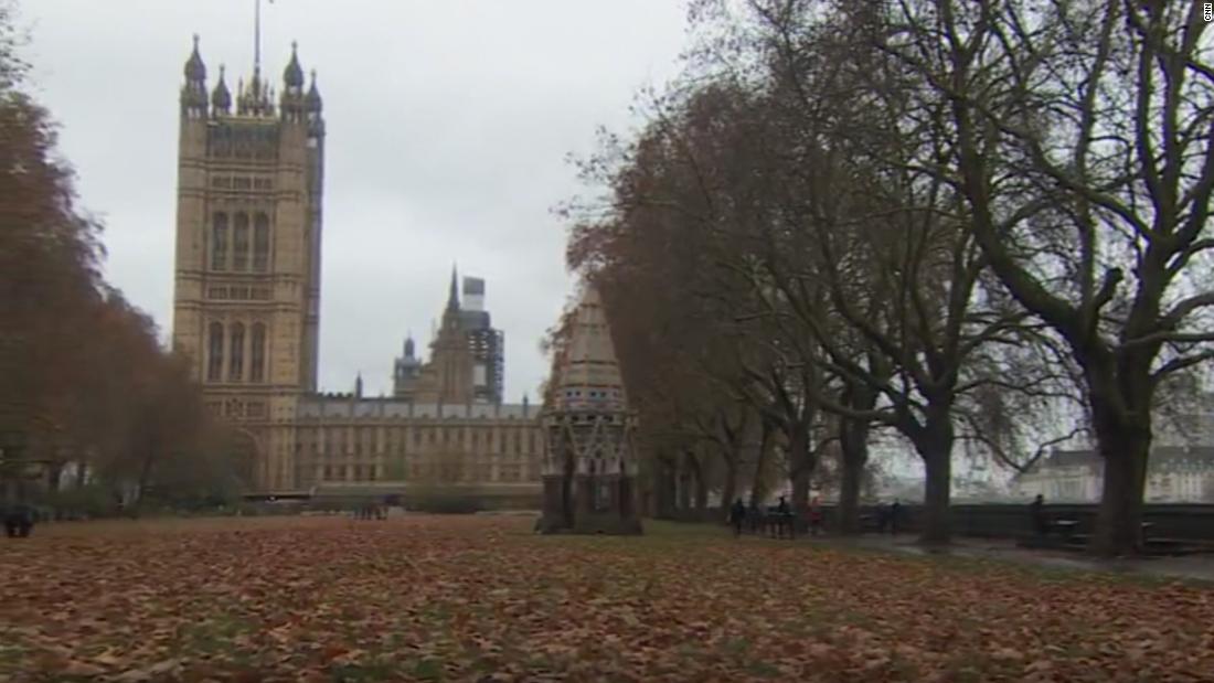
Story Picture AgencyLondoners were drenched this morning as they headed to work[/caption]
Jordan CrosbyHeavy snow showers start to fall in the town of Buxton, Derbyshire, this morning[/caption]
Met OfficeSeven weather alerts have been issued[/caption]
Brits are being braced to expect wintry conditions and chaos on their Thursday morning commute.
An amber warning for snow has been put in place for Stoke-on-Trent, Sheffield and Leeds from midday until 6pm.
The weather service has braced much of North Wales to prepare for snow and ice as an amber alert is also issued for the region.
That will be in place from 8am until 3pm today, say the Met Office.
Yellow warnings for snow and ice are also covering the country on Thursday with Newcastle, Liverpool, Middlesbrough, York, Leeds, Nottingham, Leicester and Birmingham set to be impacted.
Scotland and Northern Ireland are also affected as well as surrounding areas from 6am on Thursday until 3pm Friday.
Delays and cancellations to train and bus services are expected.
The Met Office has said there is also a growing risk of vehicles having to be abandoned if they get stuck.
Slippy surfaces could cause injury and rural communities might be cut off amid heavy snowfall.
Moving away from the snow and ice, rain warnings have also been put in place.
Heavy downpours are set to batter the south of England and Wales from 2am today until 6am Friday.
The Met Office said: “Rain, sleet and snow pushes northwards through Thursday.
“Snow confined to North Wales, Northern Ireland and northern England, mainly on high ground.
Tips for staying safe in snow and ice
The Met Office has issued advice on how you can stay safe in the snow and the ice.
What to do if you need to drive somewhere?
Plan your route
Check for delays and road closures
Leave more time to prepare and check your car before setting off
Check wipers, tyres and screenwash
Pack essentials in your car
Take a fully charged mobile phone with an in-car charger or battery pack
Driving safely in snow
Use dipped headlights
Accelerate gently, use low revs and change to higher gears as quickly as possible
Starting in second gear will help with wheel slip
Maintain a safe and steady speed. Keep your distance from other vehicles
Keep a constant speed up hills. Leave plenty of room between cars
Use a low gear to go down hill and try to avoid braking unless necessary
Steer into skids. Do not take your hands of the wheel or slam on the brakes
Staying safe if you are cut off
Keep the thermostat set to the same temperature, both during the day and at night.
Turn off electrical heaters and put out your fire before going to bed to avoid fire risk
Don’t forget your pets. Create a place where they can be comfortable in severe winter weather.
Prevent frozen pipes, open kitchen and bathroom cabinet doors to allow warmer air to circulate around the plumbing
Stay indoors wearing layers of loose fitting lightweight warm clothing rather than bulky clothing
Never use a hob or oven to heat your home, they can increase carbon monoxide levels
What you can do in a powercut
The essentials that could help you cope with a power cut are:
Candles and matches or lighters,
Torches and batteries,
A mobile phone power pack
If your power goes out these simple steps can help you deal with the situation:
Switch off all electrical appliances that shouldn’t be left unattended, ready for when the power comes back on.
Leave a light on, so you know when the power cut has been fixed.
Check to see if your neighbours are safe and if they have a power cut too. If they have power, your trip switch may have activated.
Wrap up. If it’s cold, wrap up warm and close internal doors to keep the heat in.
Portable heaters are a good alternative if heating systems are down.
Call 105 for information, it’s a free service for people in England, Scotland and Wales.
“Snow turning to freezing rain for north Wales bringing icy stretches. Brighter spells and heavy rain further south.
“Rain and snow continue to track northwards into Scotland overnight but intensities decrease.
“A widespread frost expected away from coasts in the north but more rain moves in further south.”
As we head into Friday and the weekend, wintry showers are expected to continue in the north.
Snow and rain will move towards central parts of the UK throughout the day.
The weekend is currently looking wet and cloudy for most.
Published: [#item_custom_pubDate]